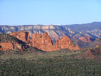
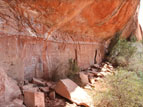
There are several places called "Sycamore Canyon" or "Sycamore Creek" in Arizona. This ruin is located in the Sycamore Canyon Wilderness, north of Clarkdale and west of the Red Rock Secret Mountain Wilderness near Sedona. The trailhead into the wilderness is located where Sycamore Creek and its canyon join the Verde River, halfway between Clarkdale and Perkinsville.
This was Sinagua territory. There are Singuan ruins in Sedona and Flagstaff, as well as major pueblos all along the Verde River as far south as what is now Horseshoe Reservoir, just north of Phoenix. Three large (~100 room) Sinaguan pueblos at the northern end of the Verde River Valley--Hatalacva, Tuzigoot, and Bridgeport--all lie within 30 miles or so of Sycamore Canyon.
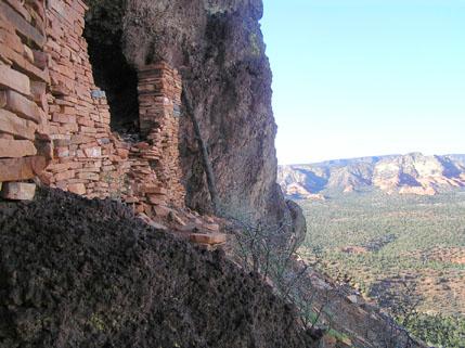
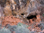
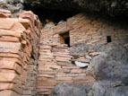
Photo 1 shows an overall view of the Sycamore Canyon cliff dwelling, taken from below. The structure on the left was once two stories high, and the open section in the middle of the ruin was once roofed over and walled off. The remains of the missing walls, presumably destroyed by looters, are now strewn over the slope below the ruin.
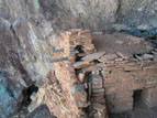
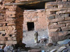
Photo 3 shows a good example of how to construct a masonry wall strong enough to support multiple stories. The wall consists of an inside and outside layer, both carefully dressed on their exposed sides, with the intervening space filled with mud, smaller rocks and rubble. The wall would have been held together with a mud mortar, and the surfaces protected with an inch-thick layer of mud plaster designed to protect the load-bearing components from the elements. This protective plaster has mostly eroded away in the hundreds of years since the structure was occupied, although some can still be seen on the less exposed portions of the walls.
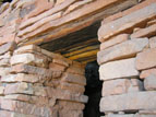
Photo 6 shows the wooden lintels used to support the walls over openings. The concept of an arch, which can support a much larger opening, was never developed in the American Southwest.
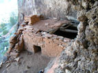
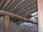
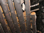
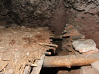
Photos 7 through 9 show how floors were constructed. The largest beams are ten inches thick--the size of telephone poles--and were cut to fit using stone tools. They are crossed at right angles by logs that are six inches in diameter, which in turn are layered with inch-thick branches. This is layered over with straw or thinner branches, and the entire assembly is then covered with two or three inches of mud. This technique was used all over Arizona (see the Sierra Ancha site descriptions, for example), and produced floors that have stood for hundreds of years, strong enough to support occupation of the rooms above.
Photo 12 shows the view looking directly out from the ruin. The snow-covered mountain in the distance is Humphreys Peak. Located 20 miles north of Flagstaff, it is the highest mountain in Arizona, at 12,637 feet.
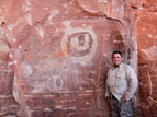
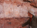
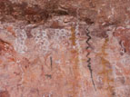
A couple of miles from the Sycamore Canyon cliff dwelling is a protected alcove containing several panels of pictographs. Petroglyphs, which are pecked or scraped into the rock, are common in Arizona; but pictographs, which are colored with pigments, are fairly rare.
