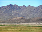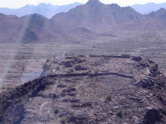
Fortaleza—Spanish for "Fort on a Hilltop"—is located along the north bank of the Gila River about forty miles southwest of Phoenix near Gila Bend. It is important archaeologically because it is one of the few sites in Arizona that is unambiguously defensive in nature. The site was built and occupied by the Hohokam between about 1200 AD and 1450 AD, and marks the southwestern edge of the Hohokam territory. Archaeologists estimate that it was constructed over a period of about 75 years, and once comprised as many as 60 rooms. The site was almost totally destroyed over the years by periodic prehistoric resettlement, and in historic times by excavation and looting. The walls seen today were reconstructed in the 1960s from the original rubble, and as much as possible to the original floor plan. Because of all this activity, the sheet midden of pot sherds and other artifacts normally found at such sites is almost completely absent from Forteleza.
The Hohokam culture was centered in modern-day Phoenix up until about 1450 AD, at which time all of the major cultures in Arizona went into a sudden and permanent decline. Fortaleza is now considered an important spiritual site by the San Lucy District of the Tohono O'odham Nation, who claim the ancient Hohokam as their ancestors. In years past one could obtain a permit from the Tohono O'odham to visit Fortaleza, but this is no longer allowed, and the site is currently posted no trespassing.
A few miles away from Fortaleza is the well-known Gatlin ruin, a contemporaneous Hohokam town of as many as 500 people that was an important regional farming and trade center. The Gatlin site is owned by the town of Gila Bend, which is planning on opening it to the public as a cultural and educational park.
Fortaleza was added to the National Registry of Historic Places in 1969 (Site #69000035). Gatlin was designated a National Historic Landmark in 1964.
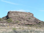
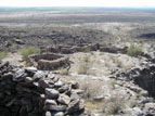
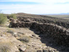
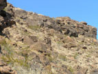
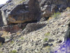
Fortaleza is constructed on top of a roughly rectangular slab of basalt that is about 100 meters wide by 200 meters long. The slab starts at ground level at the southwest end, and slopes gently upward towards the northeast, rising to height of about fifty feet above the surrounding terrain. This wedge shape results in steep cliffs on three sides that, though climbable, could easily be defended (Photos 1 and 2). The site consists of a few dozen stone-walled rooms grouped in units of two or three, as well as three large adobe structures that some believe to be intended for ceremonial purposes. There is also a large, breast-high wall that stretches across the site about midway up the slab.
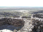
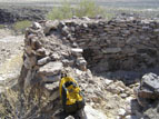
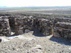
The construction here is very sturdy. Many of the walls are a meter thick or more (Photo 3), constructed by building an inner and outer wall with large, carefully-fitted stones, and filling the middle with debris, smaller rocks, gravel, and mud which hardened into a sort of stabilizing mortar (Photo 4).
Photo 5 shows several of the buildings located on the lower half of the site, all of which have their doors facing uphill towards the central wall. Photo 6 shows the wall itself, which runs the entire width of the site. Several rooms are built up against the uphill side of the wall, using the wall as their fourth side. There are no openings in the wall itself anywhere along its entire length. Even small gaps between buildings are carefully walled up (Photo 7).
The southeast edge of the site has a low cliff, under which is an easily climbed talus slope that would make that side vulnerable to attack (Photo 8). There are several structures here, clinging to the steep side of the hill below the lip of the cliff (photos 9 and 10). Their purpose (and perhaps their authenticity) is uncertain. This was not an ideal location, however: photo 10 shows the damage done to one of the buildings by a giant boulder that broke off from the cliff above.
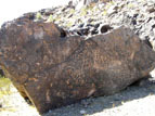
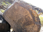
In addition to the structures, there are a number of petroglyphs marking the approaches to the site. Photo 11 shows one large panel with multiple petroglyph styles. Another smaller panel is shown in Photo 12.
